
Ieperlee topographic map
Interactive map
Click on the map to display elevation.
About this map
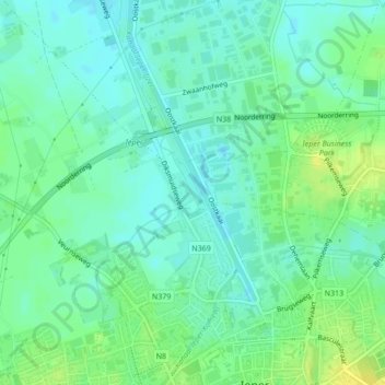
Name: Ieperlee topographic map, elevation, terrain.
Location: Ieperlee, Ypres, Flandre-Occidentale, Flandre, 8900, Belgique (50.86511 2.87710 50.86632 2.87803)
Average elevation: 18 m
Minimum elevation: 10 m
Maximum elevation: 29 m
Other topographic maps
Click on a map to view its topography, its elevation and its terrain.
Provinciaal Domein De Palingbeek
Provinciaal Domein De Palingbeek, Palingbeekstraat, Zillebeke, Ypres, Flandre-Occidentale, Flandre, 8902, Belgique
Average elevation: 46 m