
Welti topographic map
Interactive map
Click on the map to display elevation.
About this map
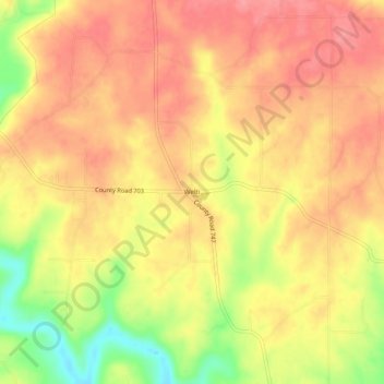
Name: Welti topographic map, elevation, terrain.
Location: Welti, Cullman County, Alabama, USA (34.11926 -86.75889 34.15926 -86.71889)
Average elevation: 217 m
Minimum elevation: 161 m
Maximum elevation: 245 m