
Lesná topographic map
Interactive map
Click on the map to display elevation.
About this map
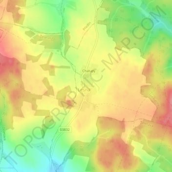
Name: Lesná topographic map, elevation, terrain.
Location: Lesná, okres Třebíč, Kraj Vysočina, Jihovýchod, Tchéquie (49.15948 15.67037 49.18745 15.69706)
Average elevation: 653 m
Minimum elevation: 603 m
Maximum elevation: 691 m