
Cumberland Plateau topographic map
Interactive map
Click on the map to display elevation.
About this map
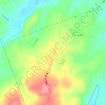
Name: Cumberland Plateau topographic map, elevation, terrain.
Average elevation: 432 m
Minimum elevation: 391 m
Maximum elevation: 485 m
Other topographic maps
Click on a map to view its topography, its elevation and its terrain.
Deer Lodge
United States > Tennessee > Morgan County
Deer Lodge, Morgan County, Tennessee, United States
Average elevation: 466 m
Nemo
United States > Tennessee > Morgan County > Nemo
Nemo, Morgan County, Tennessee, United States
Average elevation: 370 m