
Ouled Riyah topographic map
Interactive map
Click on the map to display elevation.
About this map
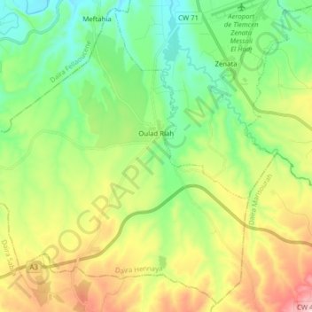
Name: Ouled Riyah topographic map, elevation, terrain.
Location: Ouled Riyah, Hennaya District, Tlemcen, Algeria (34.89107 -1.60745 35.01217 -1.45143)
Average elevation: 317 m
Minimum elevation: 138 m
Maximum elevation: 653 m