
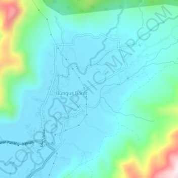
Bungus Timur topographic map
Interactive map
Click on the map to display elevation.
About this map
Name: Bungus Timur topographic map, elevation, terrain.
Location: Bungus Timur, Nagari TIMBULUN, West-Sumatra, Indonesië (-1.03621 100.40400 -0.99621 100.44400)
Average elevation: 100 m
Minimum elevation: 1 m
Maximum elevation: 581 m