
Hateg topographic map
Interactive map
Click on the map to display elevation.
About this map
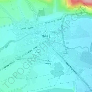
Name: Hateg topographic map, elevation, terrain.
Location: Hateg, Hunedoara, 335500, Romania (45.59254 22.93238 45.62046 22.97227)
Average elevation: 328 m
Minimum elevation: 307 m
Maximum elevation: 472 m