
Caza of Koura topographic map
Interactive map
Click on the map to display elevation.
About this map
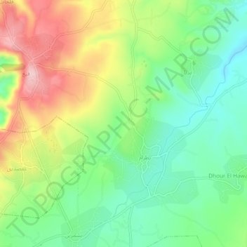
Name: Caza of Koura topographic map, elevation, terrain.
Location: Caza of Koura, Koura District, North Governorate, Lebanon (34.31810 35.78584 34.35810 35.82584)
Average elevation: 305 m
Minimum elevation: 221 m
Maximum elevation: 433 m