
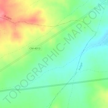
La Vecindad topographic map
Interactive map
Click on the map to display elevation.
About this map
Name: La Vecindad topographic map, elevation, terrain.
Location: La Vecindad, Cuerva, Toledo, Castilla-La Mancha, 45126, España (39.66759 -4.18250 39.68759 -4.16250)
Average elevation: 748 m
Minimum elevation: 717 m
Maximum elevation: 799 m