
Kalait topographic map
Interactive map
Click on the map to display elevation.
About this map
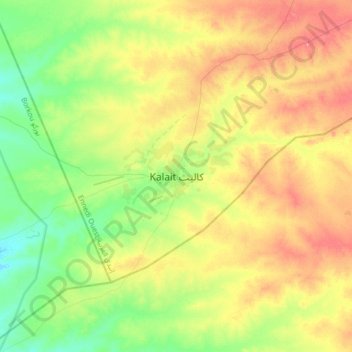
Name: Kalait topographic map, elevation, terrain.
Location: Kalait, Ennedi-Ouest, Chad (15.68043 20.73612 16.00043 21.05612)
Average elevation: 473 m
Minimum elevation: 442 m
Maximum elevation: 512 m
Other topographic maps
Click on a map to view its topography, its elevation and its terrain.