
Steen River topographic map
Interactive map
Click on the map to display elevation.
About this map
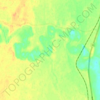
Name: Steen River topographic map, elevation, terrain.
Location: Steen River, Mackenzie County, Alberta, Canada (59.57035 -117.26463 59.59113 -117.18157)
Average elevation: 309 m
Minimum elevation: 293 m
Maximum elevation: 320 m
Other topographic maps
Click on a map to view its topography, its elevation and its terrain.
John D'Or Prairie
Canada > Alberta > Mackenzie County
John D'Or Prairie, Mackenzie County, Alberta, Canada
Average elevation: 281 m