
El Gastor topographic map
Interactive map
Click on the map to display elevation.
About this map
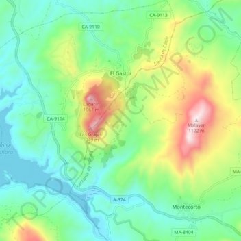
Name: El Gastor topographic map, elevation, terrain.
Location: El Gastor, Sierra de Cadix, Cadix, Andalousie, 11687, Espagne (36.80518 -5.38275 36.87638 -5.30158)
Average elevation: 571 m
Minimum elevation: 340 m
Maximum elevation: 1,104 m