
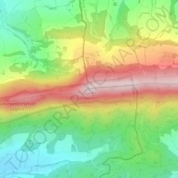
Lägeren Burghorn topographic map
Interactive map
Click on the map to display elevation.
About this map
Name: Lägeren Burghorn topographic map, elevation, terrain.
Location: Lägeren Burghorn, Wettingen, Bezirk Baden, Aargau, 5420, Schweiz (47.48080 8.36328 47.48090 8.36338)
Average elevation: 603 m
Minimum elevation: 430 m
Maximum elevation: 829 m