
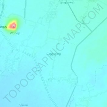
Cangkring topographic map
Interactive map
Click on the map to display elevation.
About this map
Name: Cangkring topographic map, elevation, terrain.
Location: Cangkring, Jember, 68171, Indonesia (-8.29718 113.64953 -8.25718 113.68953)
Average elevation: 60 m
Minimum elevation: 45 m
Maximum elevation: 205 m