
Manpura topographic map
Interactive map
Click on the map to display elevation.
About this map
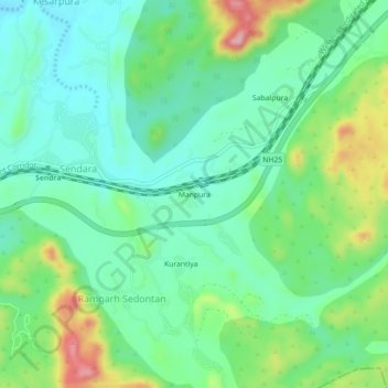
Name: Manpura topographic map, elevation, terrain.
Location: Manpura, Sendara, Raipur Tehsil, Pali, Rajasthan, India (26.05600 74.18876 26.09600 74.22876)
Average elevation: 458 m
Minimum elevation: 393 m
Maximum elevation: 611 m