Geolocate

Studley topographic map

Click on the map to display elevation.

About this map

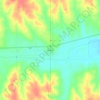
Name: Studley topographic map, elevation, terrain.

Location: Studley, Sheridan County, Kansas, United States (39.33306 -100.18374 39.37306 -100.14374)

Average elevation: 744 m

Minimum elevation: 718 m

Maximum elevation: 777 m

Gear up for your next adventure:

🧺Ultralight Dry Bags - Organize and waterproof your gear inside your rucksack
🧦Merino Wool Hiking Socks - Moisture-wicking socks to prevent blisters during long mountain walks
🖼️Topographic Map Art - Decorative 3D-effect posters of famous UK peaks and regions
🧰First Aid Kits - Essential safety kits for outdoor activities
🎒Hiking Daypacks - Compact backpacks ideal for short hikes and excursions

As an Amazon Associate, this site earns from qualifying purchases at no extra cost to you.