
Volaiville topographic map
Interactive map
Click on the map to display elevation.
About this map
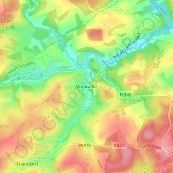
Name: Volaiville topographic map, elevation, terrain.
Location: Volaiville, Léglise, Neufchâteau, Luxembourg, Wallonie, Belgique (49.85249 5.59437 49.89249 5.63437)
Average elevation: 447 m
Minimum elevation: 393 m
Maximum elevation: 503 m