
Husen Sastranegara topographic map
Interactive map
Click on the map to display elevation.
About this map
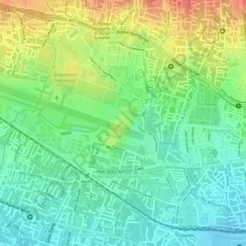
Name: Husen Sastranegara topographic map, elevation, terrain.
Location: Husen Sastranegara, Cicendo, Bandung, West Java, Indonesia (-6.91391 107.57087 -6.89076 107.58946)
Average elevation: 740 m
Minimum elevation: 715 m
Maximum elevation: 776 m