
Klaksvik topographic map
Interactive map
Click on the map to display elevation.
About this map
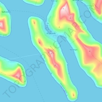
Name: Klaksvik topographic map, elevation, terrain.
Location: Klaksvik, Norðoyar region, 700, Faroe Islands (62.16745 -6.62900 62.25468 -6.44769)
Average elevation: 120 m
Minimum elevation: -33 m
Maximum elevation: 694 m