
Cazevieille topographic map
Interactive map
Click on the map to display elevation.
About this map
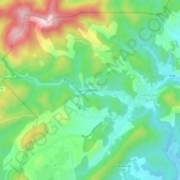
Name: Cazevieille topographic map, elevation, terrain.
Average elevation: 286 m
Minimum elevation: 141 m
Maximum elevation: 559 m
Other topographic maps
Click on a map to view its topography, its elevation and its terrain.
Auzas
France > Occitanie > Gard > Saint-Jean-du-Pin
Auzas, Saint-Jean-du-Pin, Alès, Gard, Occitanie, France métropolitaine, 30140, France
Average elevation: 302 m