
Orange topographic map
Interactive map
Click on the map to display elevation.
About this map
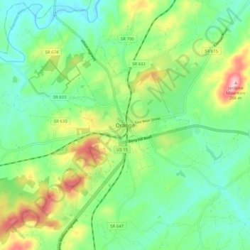
Name: Orange topographic map, elevation, terrain.
Location: Orange, Orange County, Virginia, 22898, United States (38.20541 -78.15083 38.28541 -78.07083)
Average elevation: 152 m
Minimum elevation: 94 m
Maximum elevation: 272 m