
Aza Khel topographic map
Interactive map
Click on the map to display elevation.
About this map
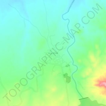
Name: Aza Khel topographic map, elevation, terrain.
Location: Aza Khel, Khyber Pakhtunkhwa, Pakistan (33.78295 71.60101 33.82295 71.64101)
Average elevation: 477 m
Minimum elevation: 439 m
Maximum elevation: 577 m