
Münschecker topographic map
Interactive map
Click on the map to display elevation.
About this map
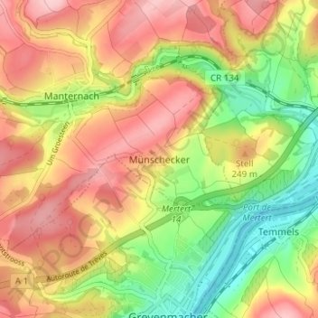
Name: Münschecker topographic map, elevation, terrain.
Location: Münschecker, Manternach, Canton Grevenmacher, 6858, Luxembourg (49.67917 6.42142 49.71917 6.46142)
Average elevation: 220 m
Minimum elevation: 129 m
Maximum elevation: 301 m