
السويداء topographic map
Interactive map
Click on the map to display elevation.
About this map
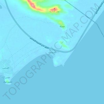
Name: السويداء topographic map, elevation, terrain.
Location: السويداء, Dhubab, Gouvernorat de Ta'izz, Yémen (12.66709 43.50152 12.70709 43.54152)
Average elevation: 5 m
Minimum elevation: -4 m
Maximum elevation: 139 m