
Saint-Jean-de-Maurienne topographic map
Interactive map
Click on the map to display elevation.
About this map
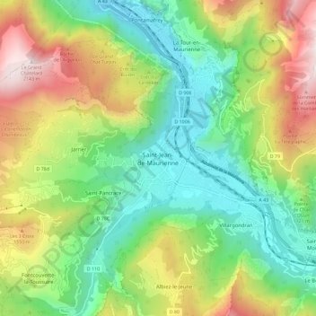
Name: Saint-Jean-de-Maurienne topographic map, elevation, terrain.
Average elevation: 1,089 m
Minimum elevation: 476 m
Maximum elevation: 2,166 m