
Uror County topographic map
Interactive map
Click on the map to display elevation.
About this map
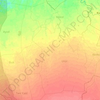
Name: Uror County topographic map, elevation, terrain.
Location: Uror County, Yuai, Jonglei, South Sudan (6.90670 30.88718 8.90670 32.88718)
Average elevation: 406 m
Minimum elevation: 393 m
Maximum elevation: 422 m