
Unterherten topographic map
Interactive map
Click on the map to display elevation.
About this map
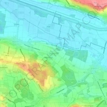
Name: Unterherten topographic map, elevation, terrain.
Location: Unterherten, Altikon, Bezirk Winterthur, Zürich, 8479, Schweiz (47.54887 8.78185 47.58887 8.82185)
Average elevation: 408 m
Minimum elevation: 371 m
Maximum elevation: 520 m