
Bisley Camp topographic map
Interactive map
Click on the map to display elevation.
About this map
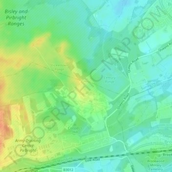
Name: Bisley Camp topographic map, elevation, terrain.
Average elevation: 55 m
Minimum elevation: 40 m
Maximum elevation: 79 m
Other topographic maps
Click on a map to view its topography, its elevation and its terrain.
Albury
Vereinigtes Königreich > England > Guildford
Albury, Guildford, Surrey, Südostengland, England, Vereinigtes Königreich
Average elevation: 113 m