
Tapa topographic map
Interactive map
Click on the map to display elevation.
About this map
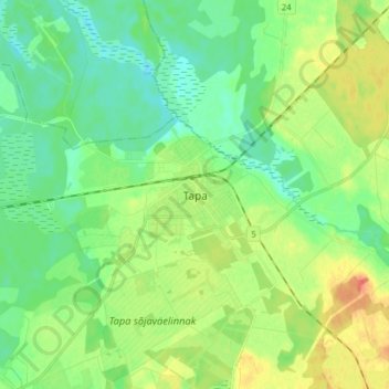
Name: Tapa topographic map, elevation, terrain.
Location: Tapa, Tapa vald, Lääne-Viru maakond, 45107, Estonia (59.22186 25.92269 59.30186 26.00269)
Average elevation: 97 m
Minimum elevation: 80 m
Maximum elevation: 129 m