
القلة topographic map
Interactive map
Click on the map to display elevation.
About this map
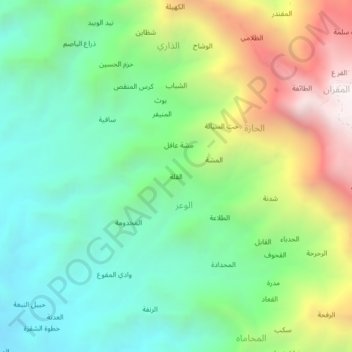
Name: القلة topographic map, elevation, terrain.
Location: القلة, الوعر, Munabbih, Gouvernorat de Sa'dah, Yémen (17.13601 43.20297 17.17601 43.24297)
Average elevation: 1,190 m
Minimum elevation: 619 m
Maximum elevation: 2,280 m