
vall d'en Marc topographic map
Interactive map
Click on the map to display elevation.
About this map
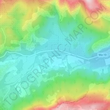
Name: vall d'en Marc topographic map, elevation, terrain.
Location: vall d'en Marc, Pollença, Serra de Tramuntana, Balearen, Spanje (39.86850 2.96136 39.86860 2.96146)
Average elevation: 211 m
Minimum elevation: 84 m
Maximum elevation: 471 m
Other topographic maps
Click on a map to view its topography, its elevation and its terrain.