
Hernando topographic map
Interactive map
Click on the map to display elevation.
About this map
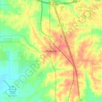
Name: Hernando topographic map, elevation, terrain.
Location: Hernando, DeSoto County, Mississippi, 38632, United States (34.78395 -90.03370 34.86395 -89.95370)
Average elevation: 97 m
Minimum elevation: 68 m
Maximum elevation: 125 m