
Waggaman topographic map
Interactive map
Click on the map to display elevation.
About this map
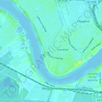
Name: Waggaman topographic map, elevation, terrain.
Location: Waggaman, Jefferson Parish, Louisiana, United States (29.91078 -90.26427 29.96852 -90.20642)
Average elevation: 3 m
Minimum elevation: -6 m
Maximum elevation: 15 m