
盐源县 topographic map
Interactive map
Click on the map to display elevation.
About this map
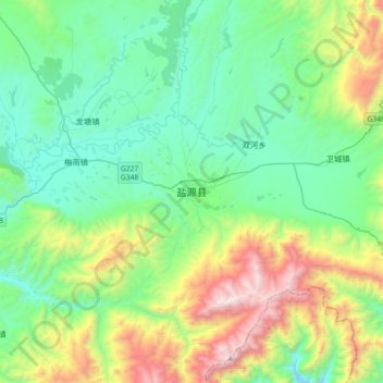
Name: 盐源县 topographic map, elevation, terrain.
Location: 盐源县, 凉山彝族自治州, 四川省, 615700, 中国 (27.26614 101.34753 27.58614 101.66753)
Average elevation: 2,742 m
Minimum elevation: 2,221 m
Maximum elevation: 4,228 m
Other topographic maps
Click on a map to view its topography, its elevation and its terrain.