
Thank you for supporting this site ❤️
Make a donation
Make a donation
Gear up for your next adventure:
As an Amazon Associate, this site earns from qualifying purchases at no extra cost to you.
Losar topographic map
Click on the map to display elevation.
Thank you for supporting this site ❤️
Make a donation
Make a donation
Gear up for your next adventure:
As an Amazon Associate, this site earns from qualifying purchases at no extra cost to you.
About this map
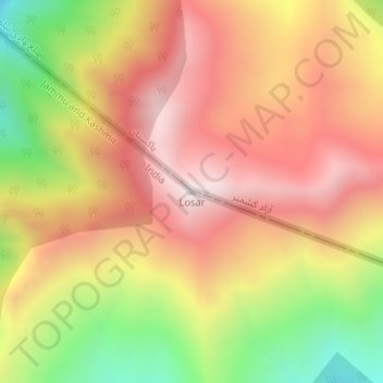
Name: Losar topographic map, elevation, terrain.
Location: Losar, Gurez, Bandipore district, Jammu and Kashmir, India (34.70574 74.65094 34.70584 74.65104)
Average elevation: 3,599 m
Minimum elevation: 3,018 m
Maximum elevation: 4,028 m
Thank you for supporting this site ❤️
Make a donation
Make a donation
Gear up for your next adventure:
As an Amazon Associate, this site earns from qualifying purchases at no extra cost to you.