
Žedno topographic map
Interactive map
Click on the map to display elevation.
About this map
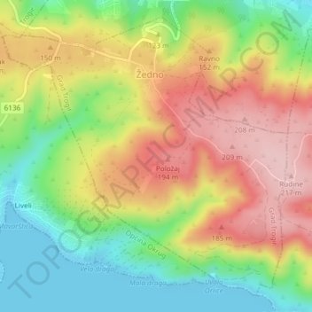
Name: Žedno topographic map, elevation, terrain.
Location: Žedno, Grad Trogir, Split-Dalmatia County, Croatia (43.48551 16.27194 43.50959 16.30595)
Average elevation: 104 m
Minimum elevation: -1 m
Maximum elevation: 215 m