
Lemmer topographic map
Interactive map
Click on the map to display elevation.
About this map
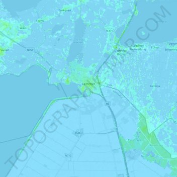
Name: Lemmer topographic map, elevation, terrain.
Location: Lemmer, De Fryske Marren, Friesland, Nederland (52.78590 5.51690 52.89520 5.75086)
Average elevation: -1 m
Minimum elevation: -6 m
Maximum elevation: 8 m