
Vliermaal topographic map
Interactive map
Click on the map to display elevation.
About this map
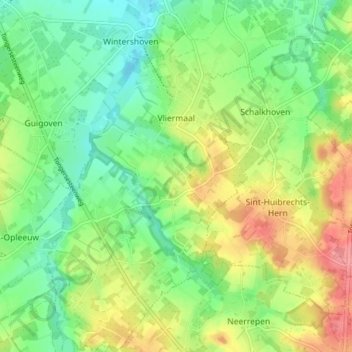
Name: Vliermaal topographic map, elevation, terrain.
Location: Vliermaal, Kortessem, Tongres, Limbourg, Flandre, 3724, Belgique (50.80777 5.40000 50.85715 5.45014)
Average elevation: 75 m
Minimum elevation: 42 m
Maximum elevation: 124 m