
Piz Colm topographic map
Interactive map
Click on the map to display elevation.
About this map
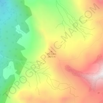
Name: Piz Colm topographic map, elevation, terrain.
Location: Piz Colm, Surses, Albula, Graubünden, 7454, Schweiz (46.55899 9.65646 46.55909 9.65656)
Average elevation: 2,201 m
Minimum elevation: 1,605 m
Maximum elevation: 2,828 m
Other topographic maps
Click on a map to view its topography, its elevation and its terrain.
Pass Lunghin
Schweiz > Graubünden > Albula > Surses
Pass Lunghin, Surses, Albula, Graubünden, 7602, Schweiz
Average elevation: 2,414 m