
Croix River topographic map
Interactive map
Click on the map to display elevation.
About this map
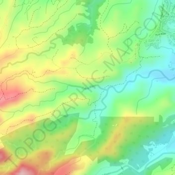
Name: Croix River topographic map, elevation, terrain.
Location: Croix River, Wesley, Saint Andrew Parish, Dominica (15.55233 -61.32670 15.55314 -61.32053)
Average elevation: 112 m
Minimum elevation: 20 m
Maximum elevation: 225 m