
Tall al Basatin topographic map
Interactive map
Click on the map to display elevation.
About this map
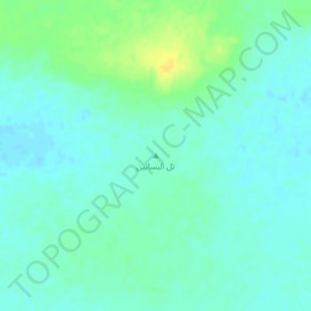
Name: Tall al Basatin topographic map, elevation, terrain.
Average elevation: 786 m
Minimum elevation: 779 m
Maximum elevation: 801 m
Other topographic maps
Click on a map to view its topography, its elevation and its terrain.
Muhafazat al Mafraq
Jordan > Mafraq > Rwaished Sub-District
Muhafazat al Mafraq, Rwaished Sub-District, Rwaished District, Mafraq, Jordan
Average elevation: 753 m