
Kinkheda topographic map
Interactive map
Click on the map to display elevation.
About this map
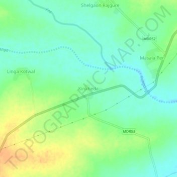
Name: Kinkheda topographic map, elevation, terrain.
Location: Kinkheda, Risod, Washim, Maharashtra, 444504, India (20.04219 76.82903 20.08219 76.86903)
Average elevation: 508 m
Minimum elevation: 495 m
Maximum elevation: 528 m
Other topographic maps
Click on a map to view its topography, its elevation and its terrain.