
Veurne topographic map
Interactive map
Click on the map to display elevation.
About this map
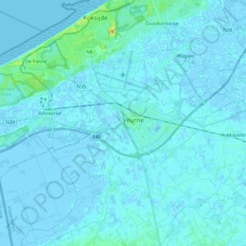
Name: Veurne topographic map, elevation, terrain.
Location: Veurne, Westflandern, Flandern, Belgien (51.05162 2.60096 51.09034 2.77691)
Average elevation: 2 m
Minimum elevation: -5 m
Maximum elevation: 27 m