
Étang de Trémelin topographic map
Interactive map
Click on the map to display elevation.
About this map
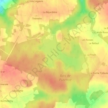
Name: Étang de Trémelin topographic map, elevation, terrain.
Average elevation: 100 m
Minimum elevation: 61 m
Maximum elevation: 117 m
Other topographic maps
Click on a map to view its topography, its elevation and its terrain.
La Ville Houée
France > Bretagne > Iffendic > La Ville Houée
La Ville Houée, Iffendic, Rennes, Ille-et-Vilaine, Bretagne, France métropolitaine, 35750, France
Average elevation: 84 m