
Tezza topographic map
Interactive map
Click on the map to display elevation.
About this map
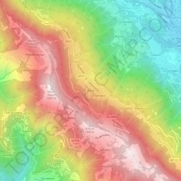
Name: Tezza topographic map, elevation, terrain.
Location: Tezza, Costa Valle Imagna, Bergame, Lombardie, 23806, Italie (45.77809 9.48650 45.81809 9.52650)
Average elevation: 927 m
Minimum elevation: 399 m
Maximum elevation: 1,417 m