
Dan Khun Thot topographic map
Interactive map
Click on the map to display elevation.
About this map
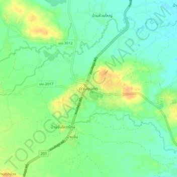
Name: Dan Khun Thot topographic map, elevation, terrain.
Location: Dan Khun Thot, Nakhon Ratchasima Province, Thailand (15.16879 101.72885 15.24879 101.80885)
Average elevation: 209 m
Minimum elevation: 197 m
Maximum elevation: 228 m