
Rosemary Hill Wood topographic map
Interactive map
Click on the map to display elevation.
About this map
Name: Rosemary Hill Wood topographic map, elevation, terrain.
Average elevation: 156 m
Minimum elevation: 86 m
Maximum elevation: 206 m
Other topographic maps
Click on a map to view its topography, its elevation and its terrain.
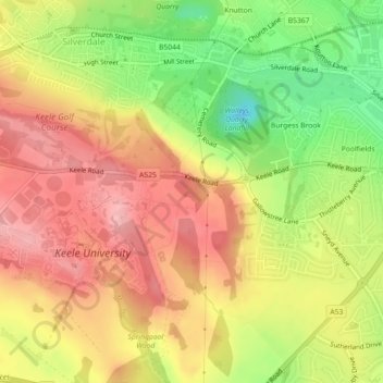
Silverdale
United Kingdom > England > Newcastle-under-Lyme > Silverdale
Silverdale, Newcastle-under-Lyme, Staffordshire, West Midlands, England, ST5 6QD, United Kingdom
Average elevation: 166 m