
Kampung Tanjung Aru Lama topographic map
Interactive map
Click on the map to display elevation.
About this map
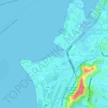
Name: Kampung Tanjung Aru Lama topographic map, elevation, terrain.
Location: Kampung Tanjung Aru Lama, Sabah, 88803, Malaysia (5.93887 116.03298 5.97887 116.07298)
Average elevation: 7 m
Minimum elevation: -17 m
Maximum elevation: 92 m