
Khurdha Municipality Boundary topographic map
Interactive map
Click on the map to display elevation.
About this map
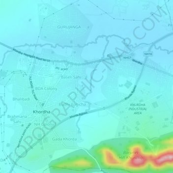
Name: Khurdha Municipality Boundary topographic map, elevation, terrain.
Location: Khurdha Municipality Boundary, Khordha, Odisha, India (20.15652 85.59998 20.20302 85.65161)
Average elevation: 59 m
Minimum elevation: 29 m
Maximum elevation: 296 m
Other topographic maps
Click on a map to view its topography, its elevation and its terrain.
PALLATOTAPADA
PALLATOTAPADA, Khordha, Odisha, 752055, India
Average elevation: 57 m