
Feuertalberg topographic map
Interactive map
Click on the map to display elevation.
About this map
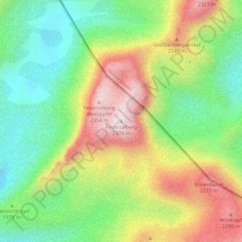
Name: Feuertalberg topographic map, elevation, terrain.
Average elevation: 2,001 m
Minimum elevation: 1,736 m
Maximum elevation: 2,358 m
Other topographic maps
Click on a map to view its topography, its elevation and its terrain.
Neustein
Österreich > Steiermark > Bezirk Liezen > Grundlsee
Neustein, Grundlsee, Bezirk Liezen, Steiermark, 8993, Österreich
Average elevation: 1,590 m